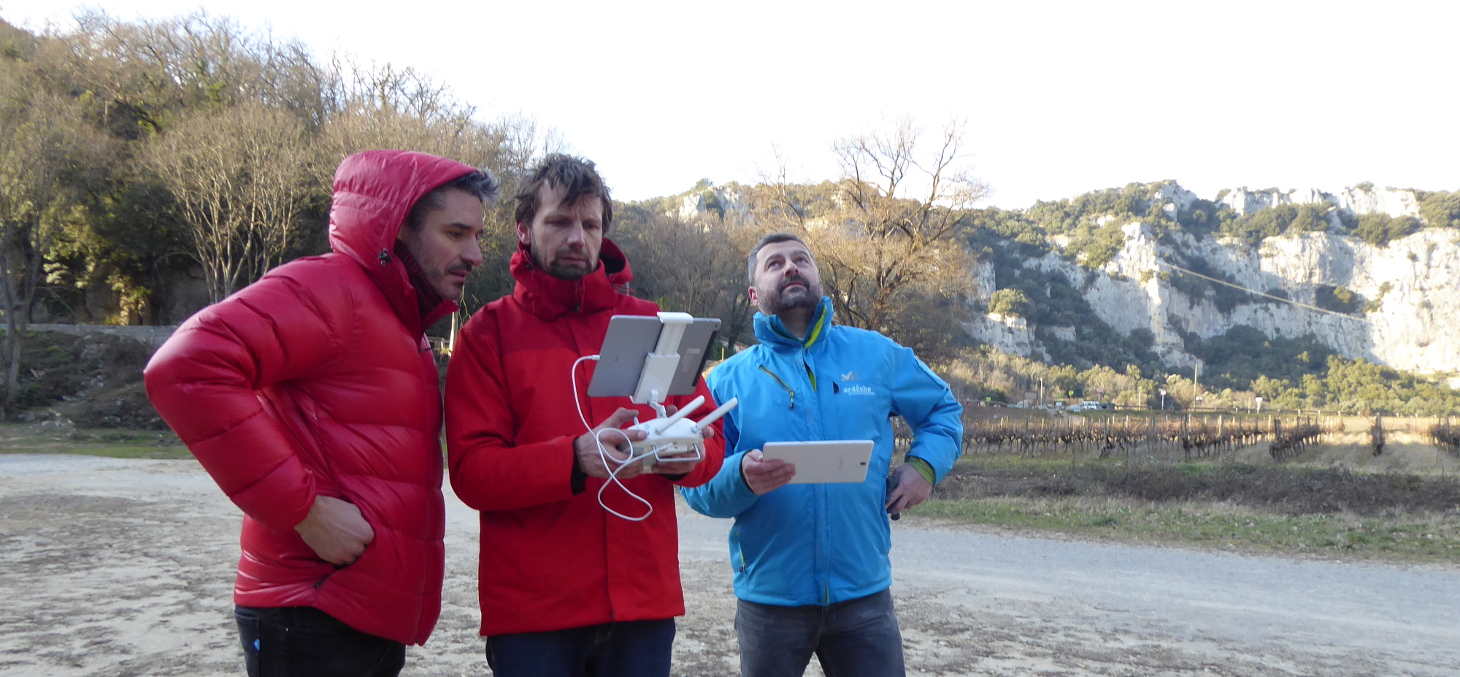
University diploma Cartography, Geographic Information Systems and Data Analysis (C-SIGAD)


Cartography, Geographic Information Systems and Data Analysis (C-SIGAD)

Available only in continuing education, C-SIGAD is taught on the CERMOSEM campus in the Ardèche department.

Combining spatial, cartographic and statistical approaches, this program allows students to acquire the following skills:
  •     collect, analyze and interpret data (geo data),
  •     use and handle the different projection systems,
  •     read, understand and create cartographic documents and thematic maps,
  •     create, implement and operate a Geographic Information System,
  •     use these different tools in decision support processes,
  •     produce spatial analysis and conduct multisectoral statistical analysis,
  •     know the main players at local, national, European and international levels involved in the field of GIS and geographic data, as well as the main regulatory texts and directives,
  •     master the semiology, typology and graphics of a map,
  •     handle and use the vocabulary concepts and notions used in cartography and statistics,
  •     use and analyze statistical analysis methods and expected results, as well as their interpretation.


Published on  July 16, 2019
Updated on February 28, 2022